Lot 171
[MAPS & ATLASES - CHICAGO]. A group of Chicago maps, comprising:
Sale 1069 - American Historical Ephemera & Photography
Lots Open
Aug 19, 2022
Lots Close
Aug 30, 2022
Timed Online / Cincinnati
Own a similar item?
Estimate
$300 -
500
Price Realized
$500
Sold prices are inclusive of Buyer’s Premium
Lot Description
[MAPS & ATLASES - CHICAGO]. A group of Chicago maps, comprising:
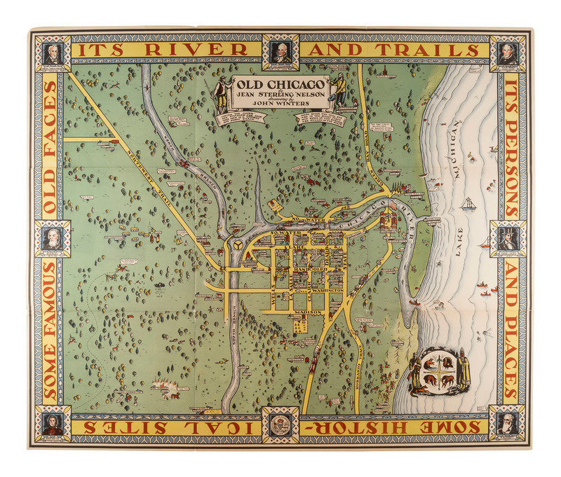
NELSON, Jean Sterling. John WINTERS, artist. Old Chicago. [Chicago?]: Advance LIthographing Co., Dovenmuehle, Inc., 1940.
Color lithograph of early Chicago, image 34 5/8 x 28 3/4 in. (sheet 35 3/4 x 29 7/8 in.), With portraits of significant figures. (Some wear at creases.) A publisher's note tipped to the edge reads: "This quaint map of old Chicago recalls some incidents of the city's early history - peaceful years alternating with periods of tumultuous growth. Witnesses to this changing scene since 1844, we send it to you with our best wishes at this time....Dovenmuehle, Inc." RARE: OCLC locates only 2 copies, at the Newberry Library and the Wisconsin Historical Society.
[With:]
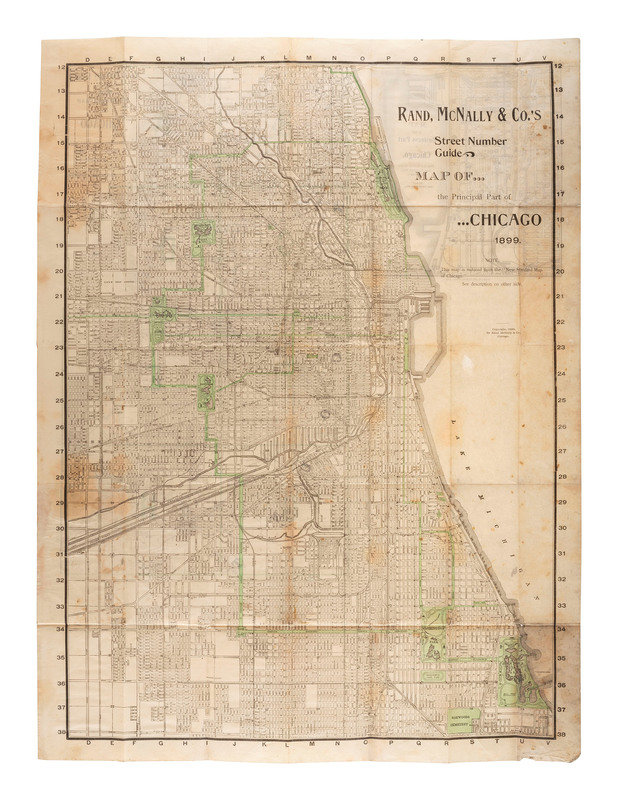
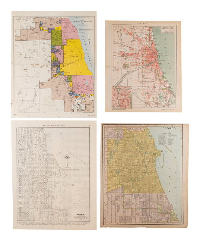
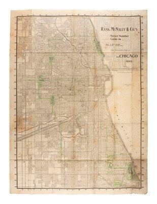
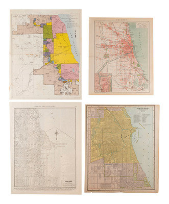
Rand, McNally & Co.'s Street Number Guide. Map of...the Principal Part of...Chicago 1899. Chicago: Rand, McNally & Co., 1898. Verso of sheet with Map of the Business Part of Chicago. and Rand, McNally & Co.'s New Standard Map of Chicago. -- Chicago. Leipzig, Germany: F.A. Brockhaus, [1901-1904]. From Brockhaus' Konversations-Lexikon. -- The Metropolitan Sanitary District of Greater Chicago Showing Annexations and Municipality. Chicago: Engineering Department, 1963. -- Chicago, Featuring Points of Interest, Parks and Principal Buildings. Chicago: Rand McNally & Company, n.d. From World Atlas and Gazetteer. -- Chicago. Chicago: George F. Cram, n.d. Verso with St. Louis. -- Together, 5 maps of Chicago, condition generally very good to fine.
Property of a Midwest Collector
Condition Report
Contact Information
