Lot 172
[MAPS & ATLASES -- CHICAGO]. A large group of maps, blueprints, and bonds of Chicago real estate and land development, comprising:
Sale 1069 - American Historical Ephemera & Photography
Lots Open
Aug 19, 2022
Lots Close
Aug 30, 2022
Timed Online / Cincinnati
Own a similar item?
Estimate
$400 -
600
Price Realized
$250
Sold prices are inclusive of Buyer’s Premium
Lot Description
[MAPS & ATLASES -- CHICAGO]. A large group of maps, blueprints, and bonds of Chicago real estate and land development, comprising:
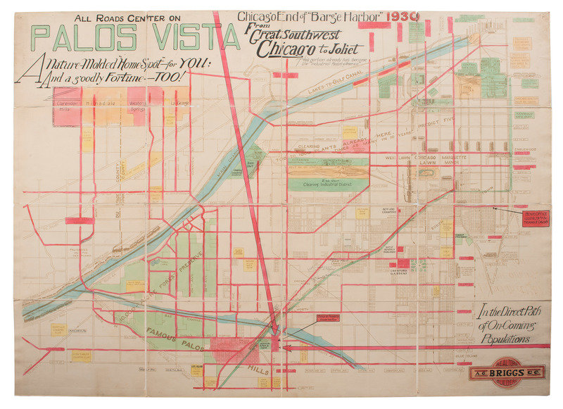
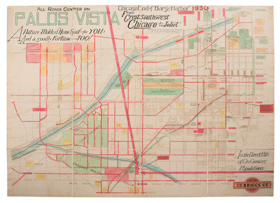
All Roads Center on Palos Vista. Chicago End of "Barge Harbor. Chicago: [A.G. Briggs & Co.]., 1930. Lithograph with hand coloring. 49 x 34 3/4 in. mounted on linen. (Some fading, occasional separations of cloth).
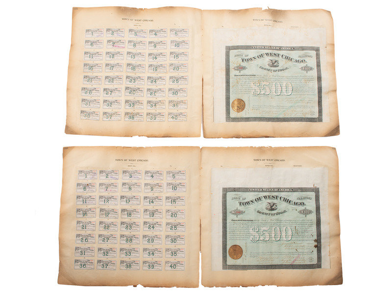
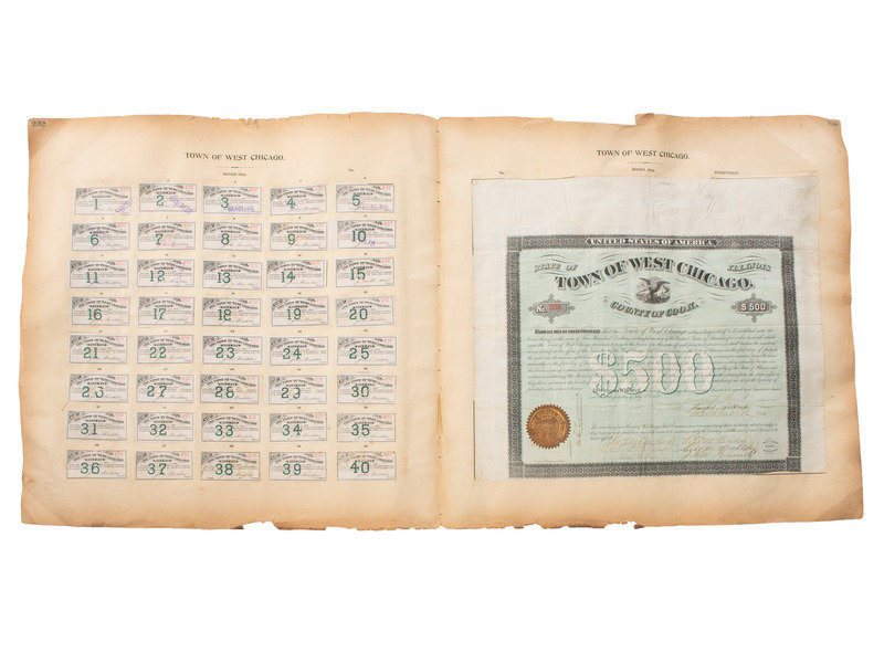
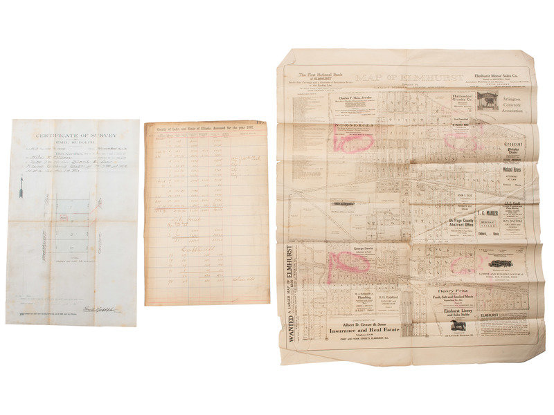
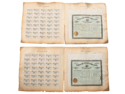
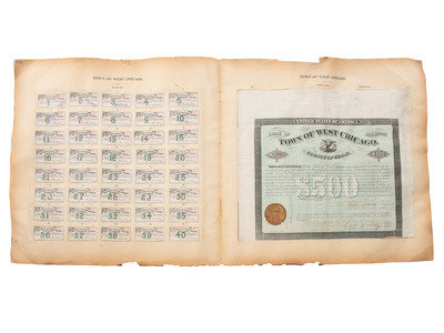
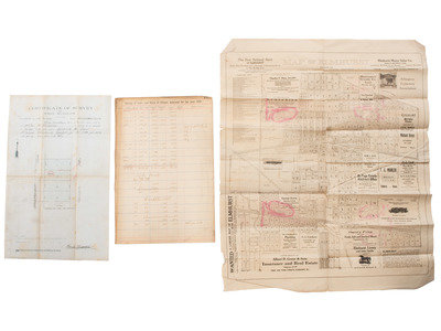
[With:] Town of West Chicago, County of Cook. $500. Chicago: Western B.N. & Engraving Co., 1879. Each page 19 3/4 x 19 1/2 in. (some wrinkling, toning). A group of 6 $500 bonds for West Chicago. Each mounted to large page, bond on recto, 40 numbered bonds individually affixed to verso. Bonds numbered 231, 238, 243-246.
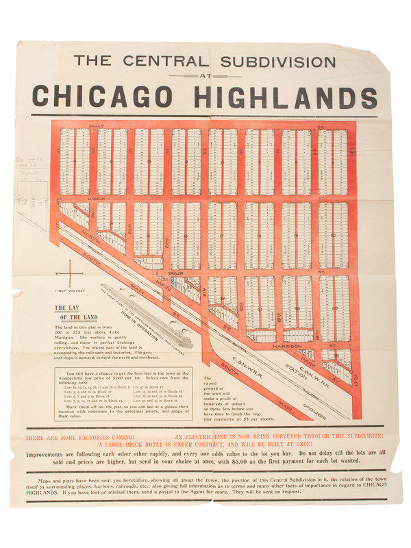
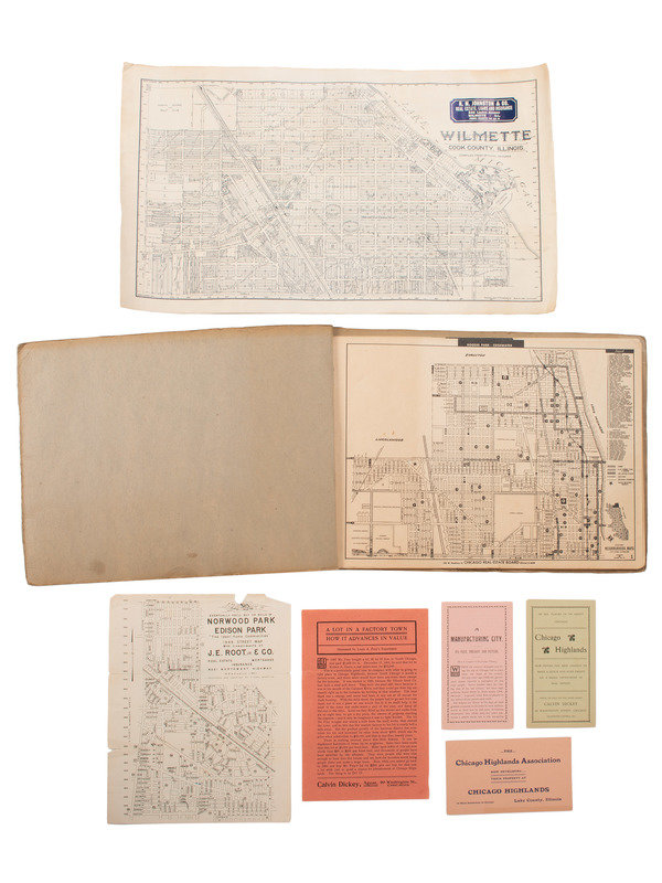
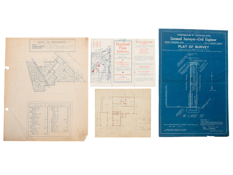
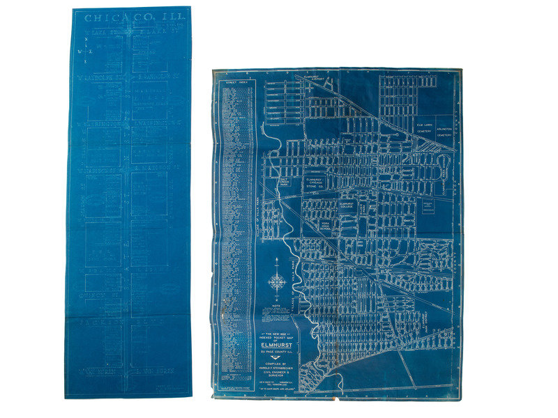
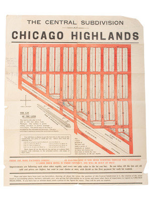
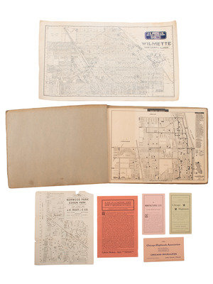
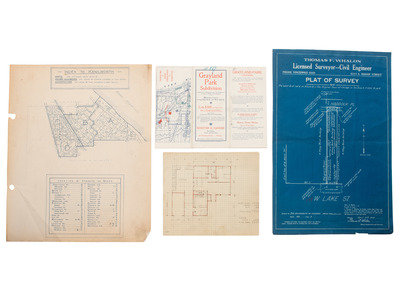
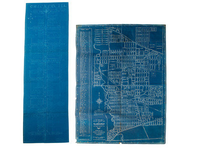
[Also with:] The Central Subdivision at Chicago Highlands. [Chicago]: N.p., n.d. -- STEINBRECHER, Harold F. The New 1932 Indexed Pocket Map of Elmhurst, Du Page County Ill. Wheaton, IL: N.p., 1932. -- HOFFMAN, H.C. Chicago ILL. Scale 1"=100'. N.p.: N.p., n.d. -- Chicago Neighborhood Maps, City-Wide Coverage. [Chicago]: Frazier Map Co., Chicago Real Estate Board, 1950. -- Wilmette Cook County, Illinois. Compiled from Official Records. Chicago: Charles N. Roberts, n.d. -- And 10 others. Together, 15 maps and other items of ephemera, condition generally very good to fine, a complete condition report is available upon request.
Property of a Midwest Collector
Condition Report
Contact Information
